With the VW through the ford
Tuesday, 05.04.2016
The playoff weekend, which was already extended for us til Monday, was once again far too short, but a small tour of the South of England is planned until the weekend. Our chef once again conjures a delicious English breakfast with eggs and ham. 🙂
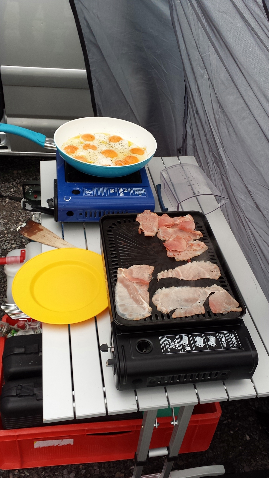
Can a day start any better?
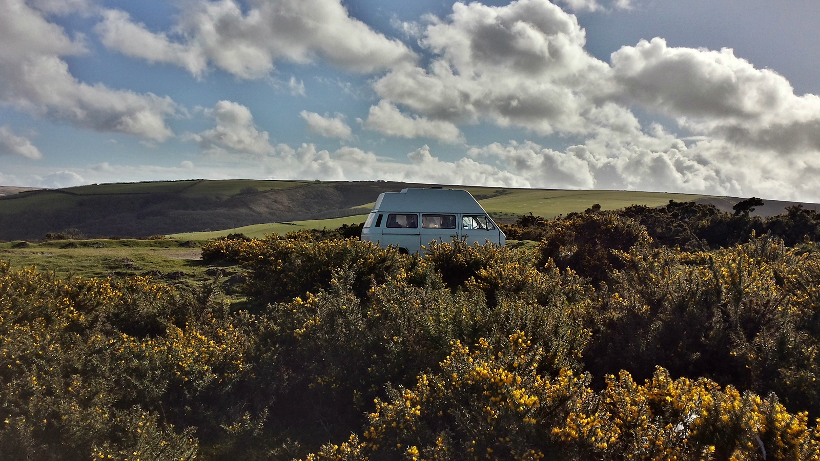
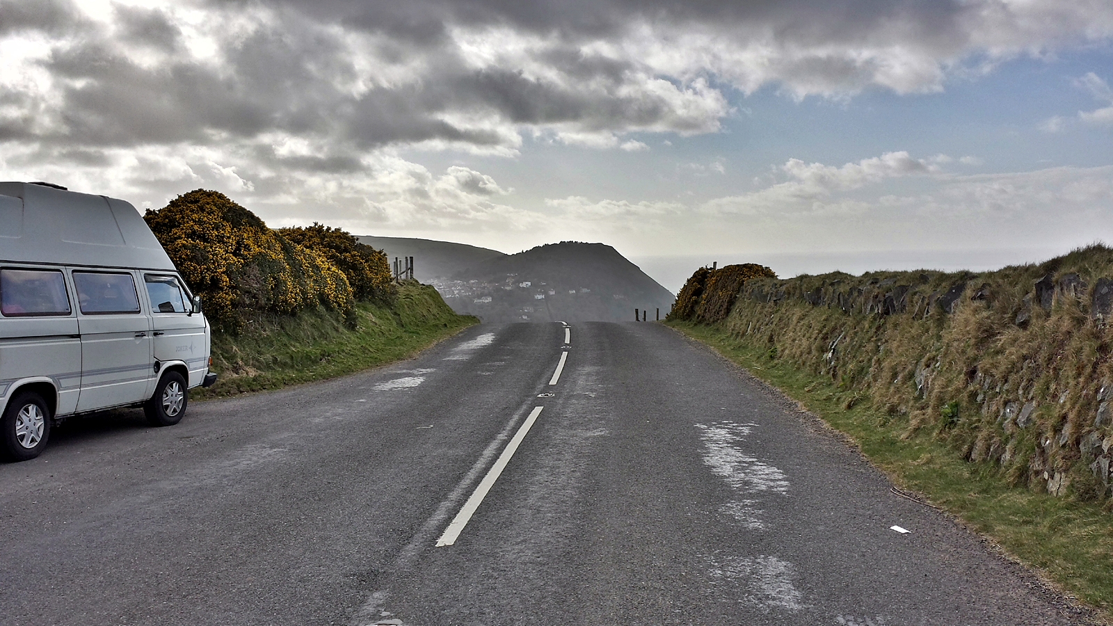
We leave Nottingham via the motorway towards the South. In the last England travelogue I had already mentioned how much the Britons love the VW bus, had I?
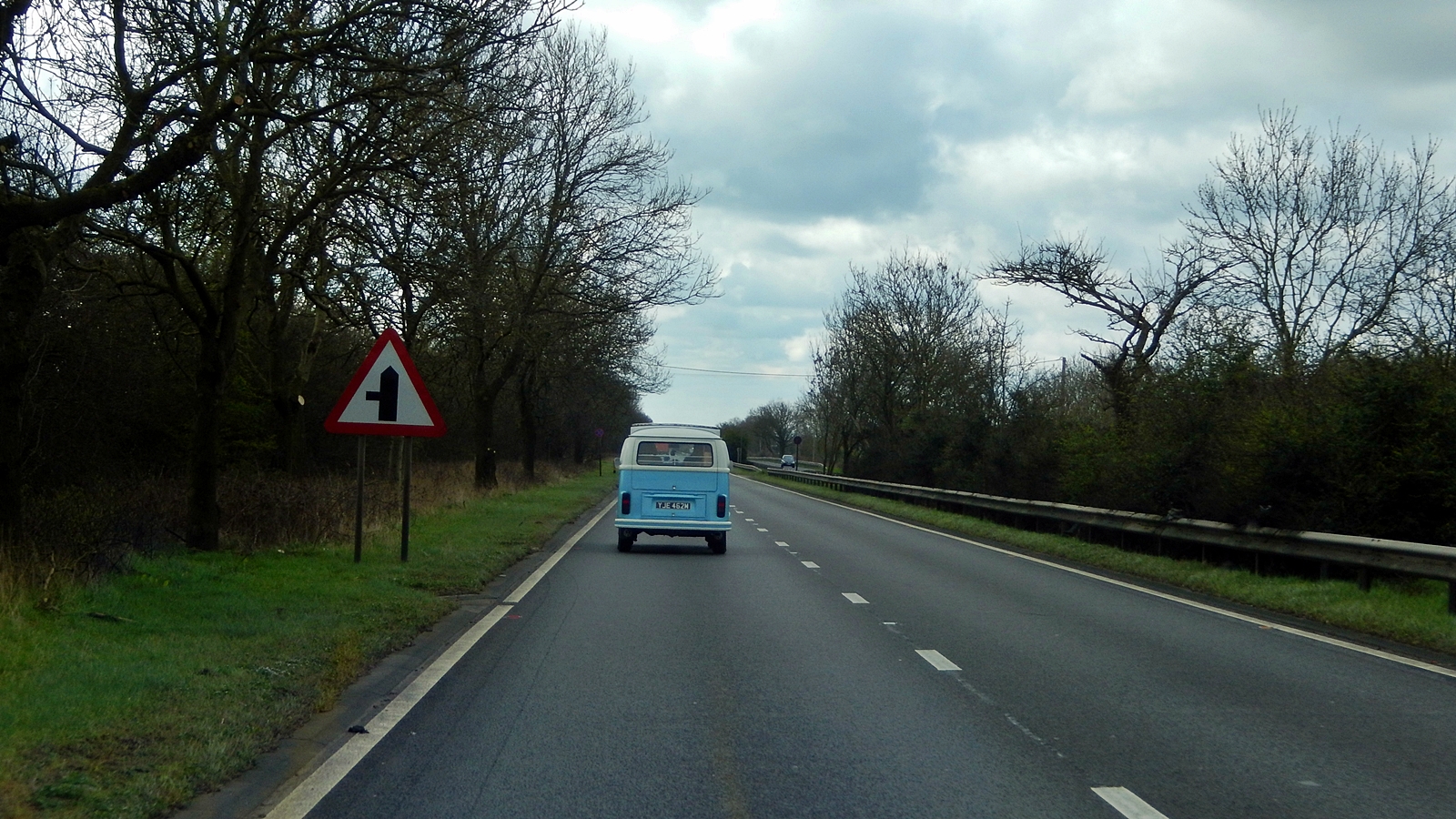
VW bus ahead
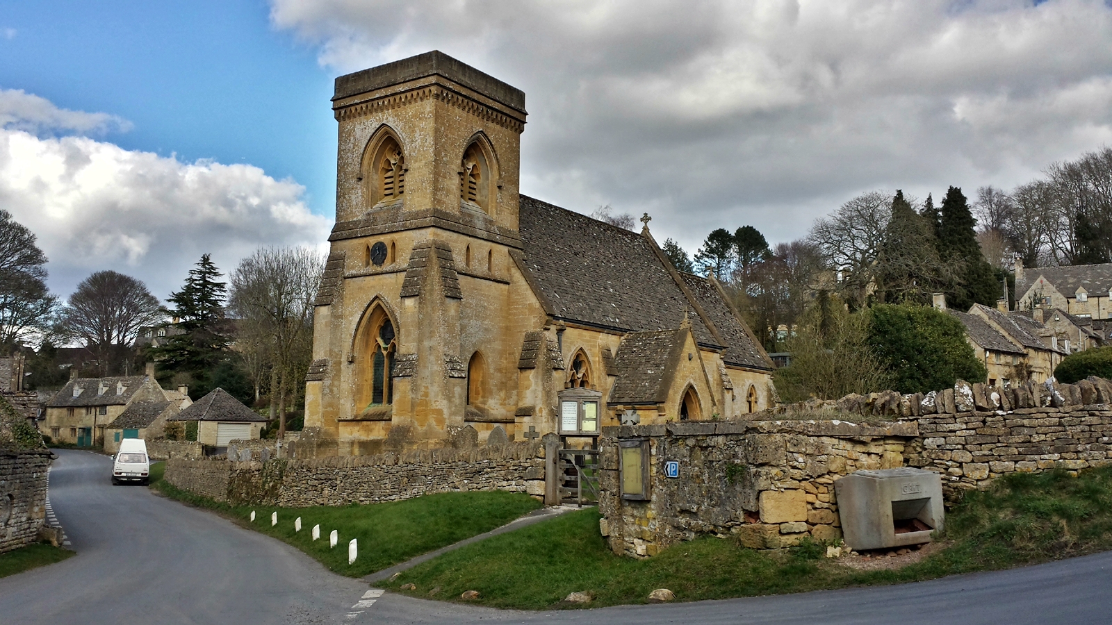
Today’s destination will be the Cotswolds, the Heart of England. Here in the gentle green hills, time has simply stood still for hundreds of years, and visitors are confronted with a mixture of the Middle Ages and the Shire.
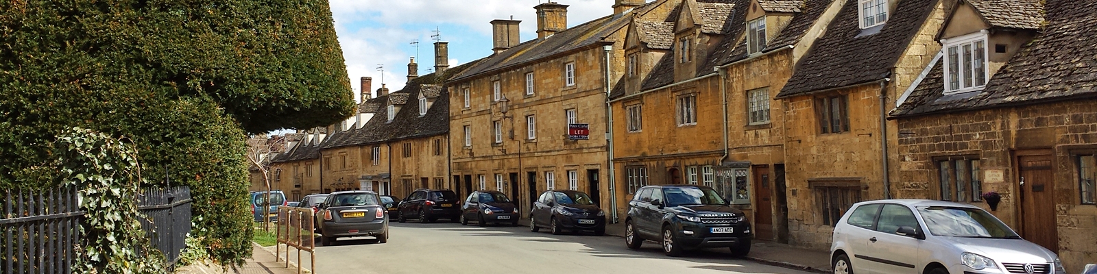
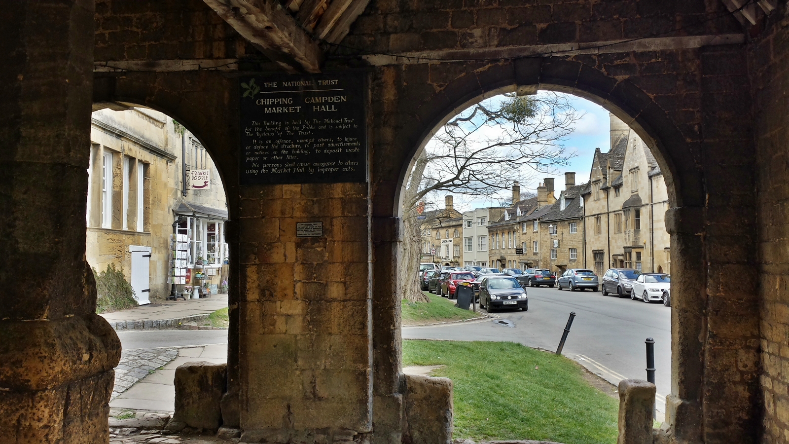
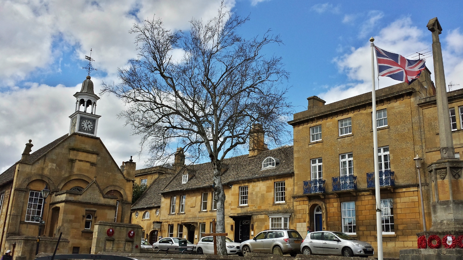
We make our first stop in the small town of Chipping Campden. This place has been almost unchanged since its foundation between the 14th and 17th century, were it not for the many modern automobiles…
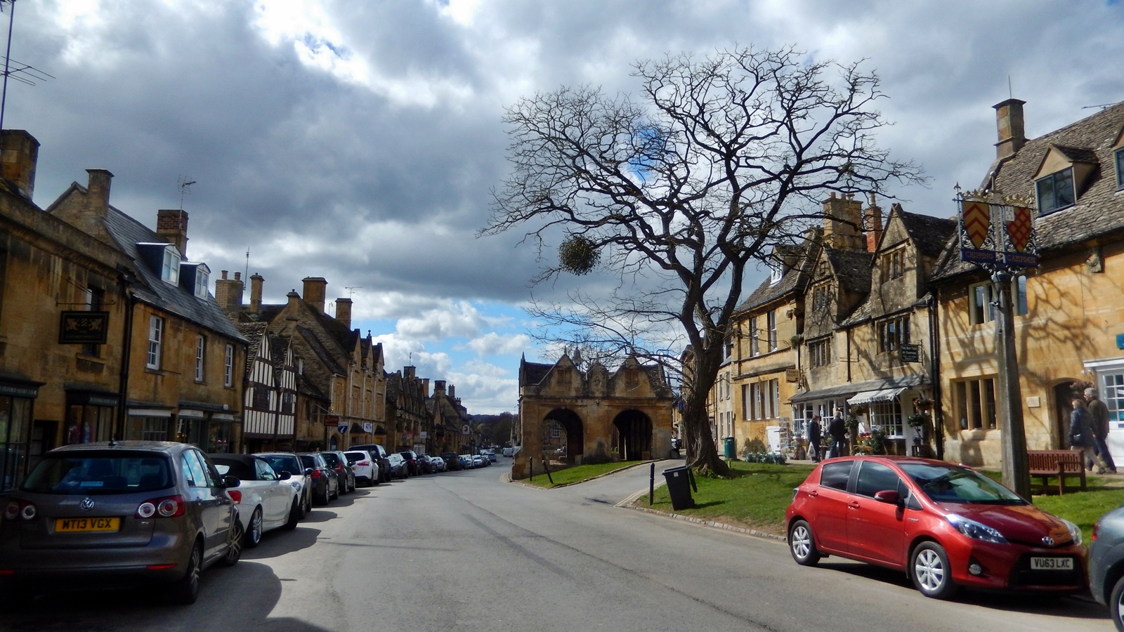
The market hall, built in 1627, forms the center of the elongated town. Chipping Campden was a wealthy wool trading center in the Middle Ages.
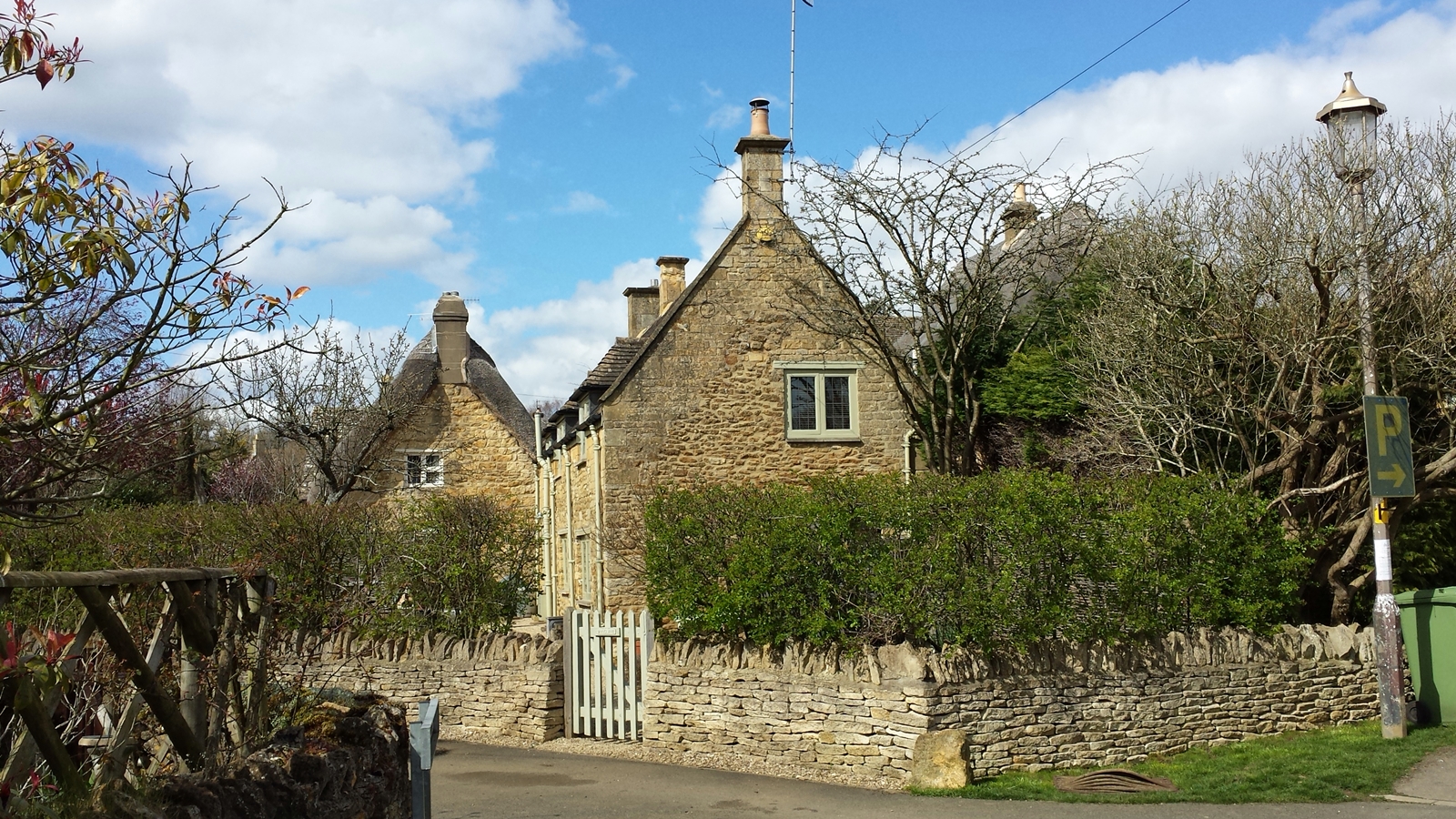
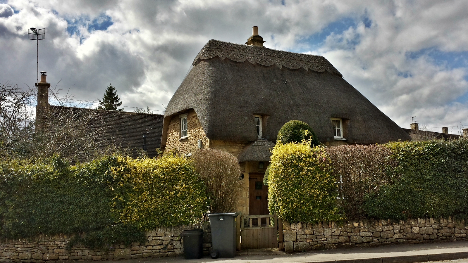
Off the main street there are many old, small houses, all of which were built from local sandstone and some still have thatched roofs. Here you actually feel a bit like in the Shire from Lord of the Rings.
After an extensive stroll through the city, we leave the beautiful town of Chipping Campden behind and make our way to Broadway. On the way we pass several small villages, none of which has a single building that seems to be less than 200 years old.
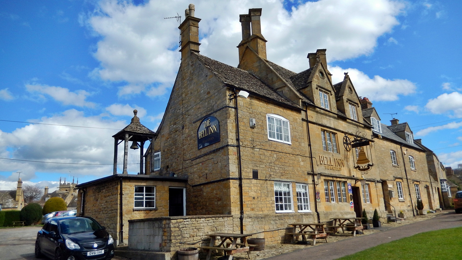
“The Bell Inn”, Willersby
In Broadway, a small touristy town, lies the Broadway Tower, a 20m high tower in the style of a castle. The tower was built in 1794 to check whether a beacon could be seen in Worcester, 35 kilometers away. It was, and today the tower functions as a lookout tower, offering great views of Birmingham, 50 km away, when the weather allowes for it.
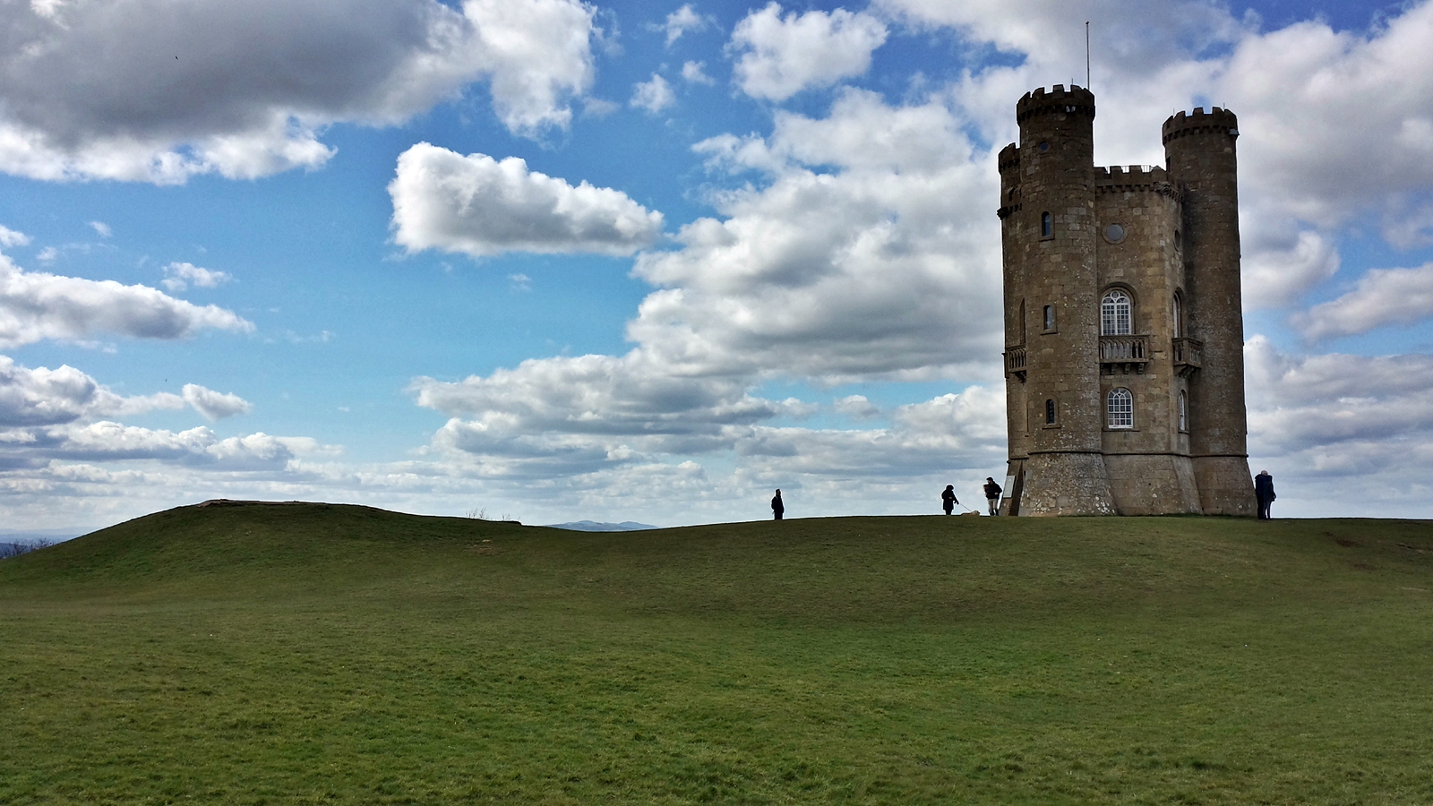
Broadway Tower
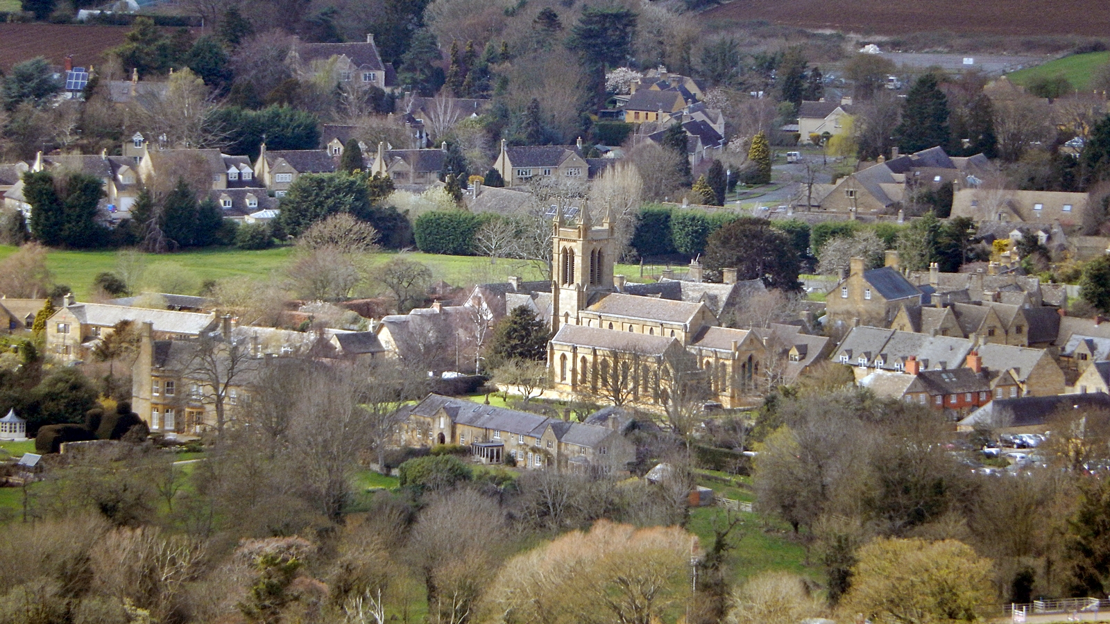
Broadway as seen from Broadway Tower
A few kilometers further down the road lies the town of Snowshill, which can only be reached via very small and narrow streets. Snowshill gives the impression that it has simply been forgotten some hundred years ago.

Main road in Snowshill
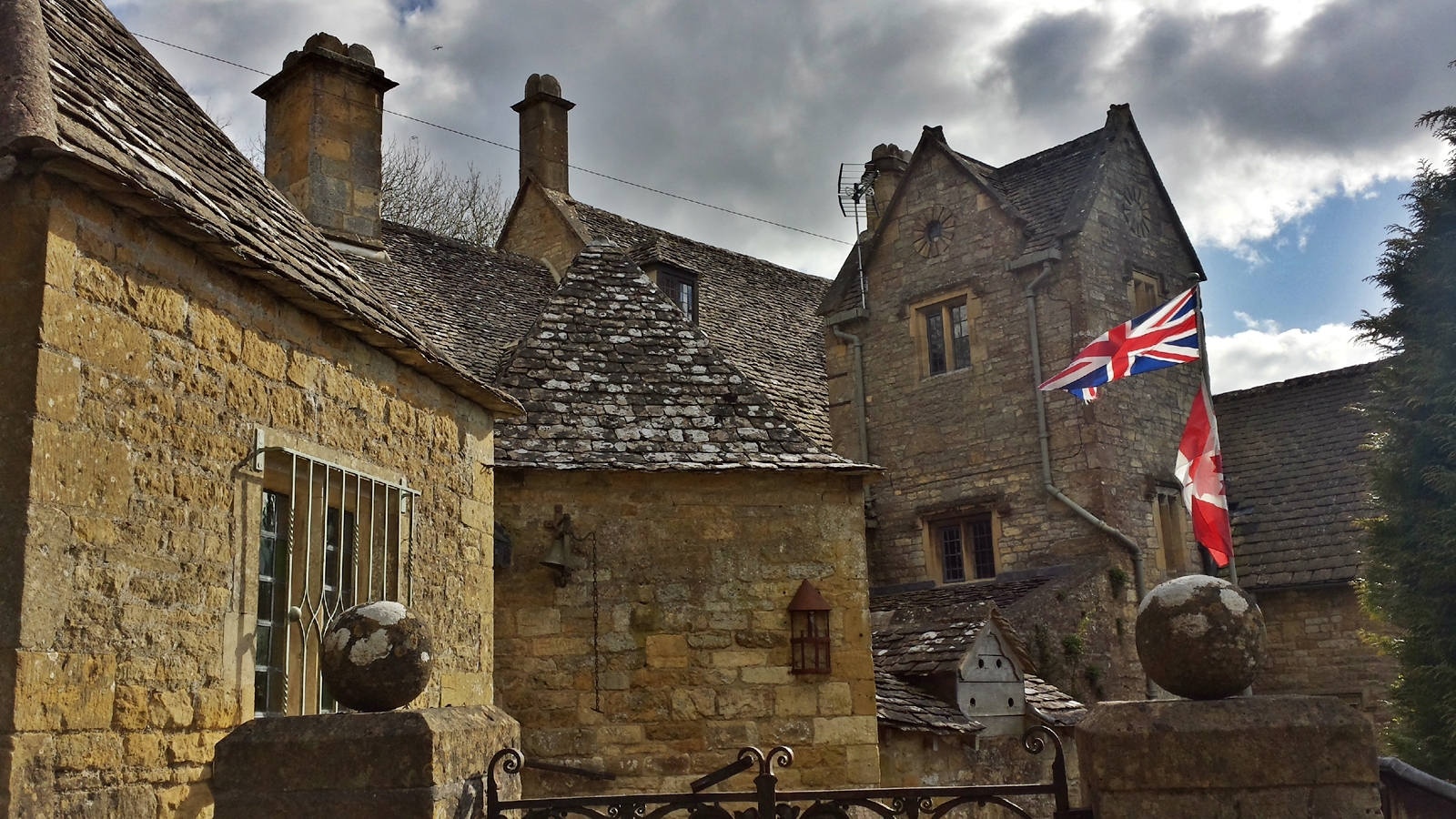
Snowshill
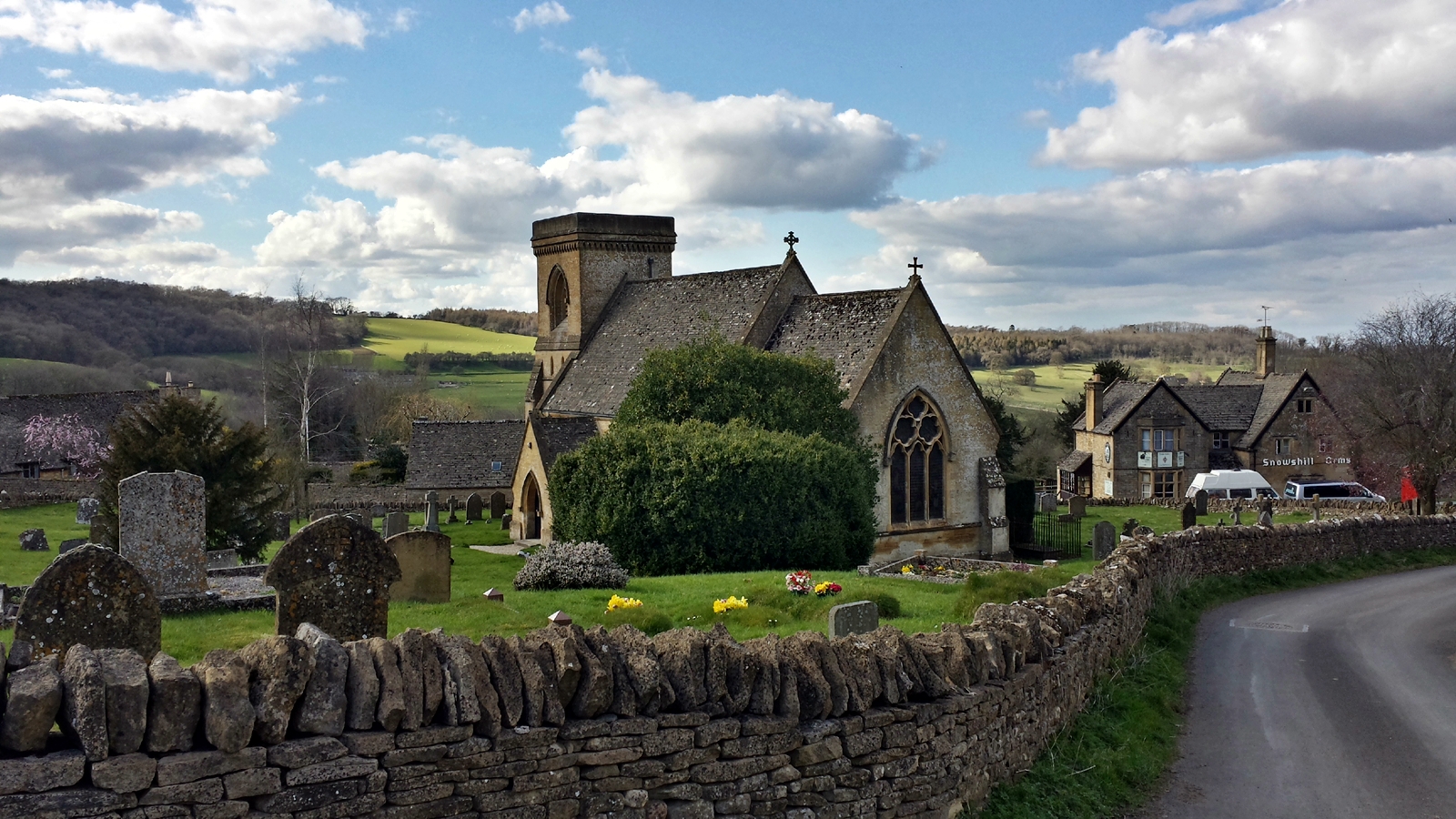
Snowshill Church
The Didimobil in a bygone era
The next place along our Cotswolds tour is Lower Slaughter, a village along Eye River that has been inhabited for over 1,000 years.
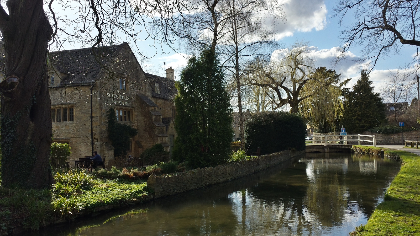
River Eye, Lower Slaughter

Lower Slaughter
Lower Slaughter is known for its water mill from the 19th century, which stands out clearly from the sandstone houses due to its brick construction.
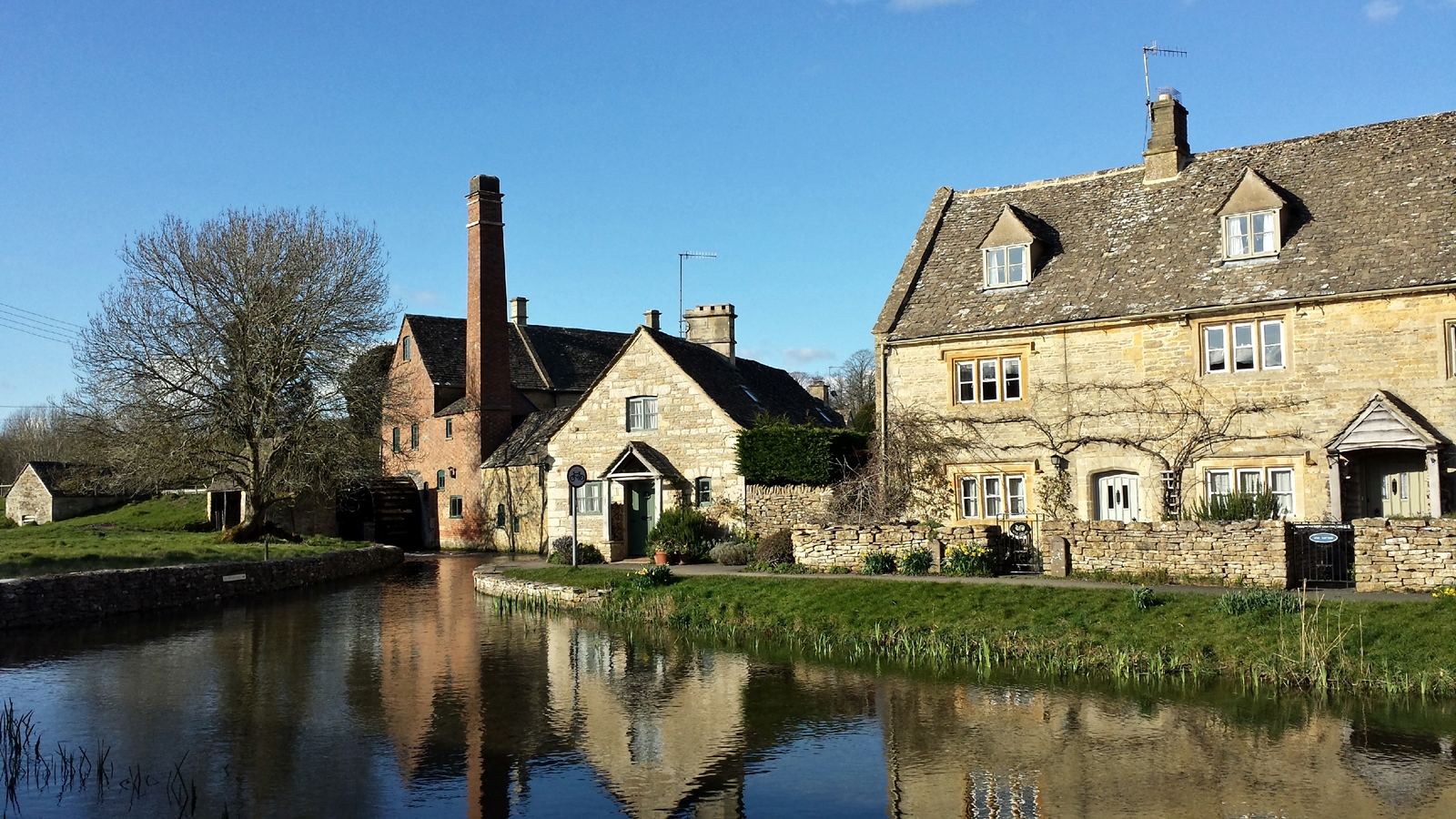
Water mill, Lower Slaughter
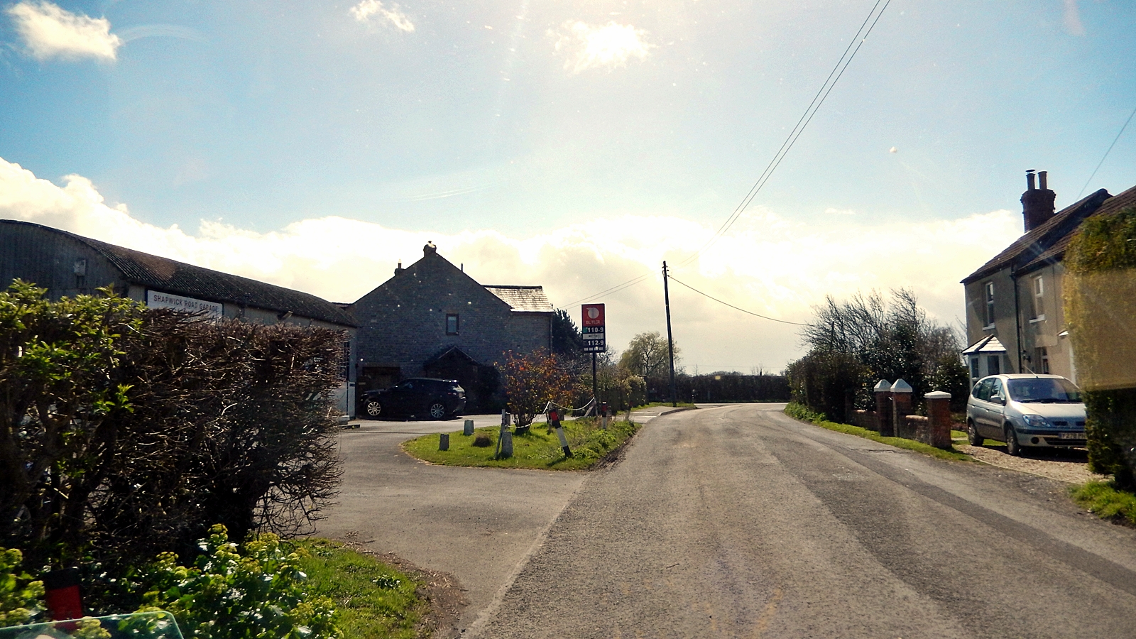
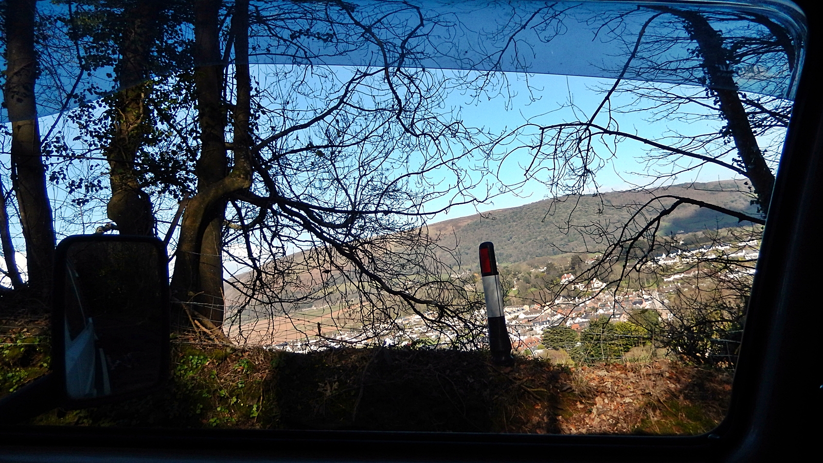
As the day is slowly coming to an end, we start looking for a place for the night. On Google Maps we find a campsite and let the unfriendly Misses navigate us there.
Can we go there with our VW? o.O.
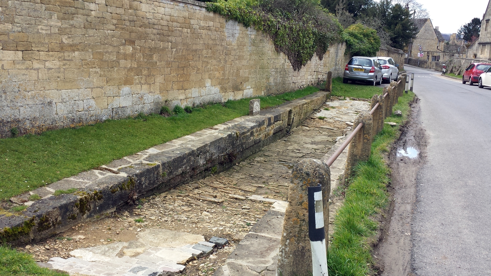
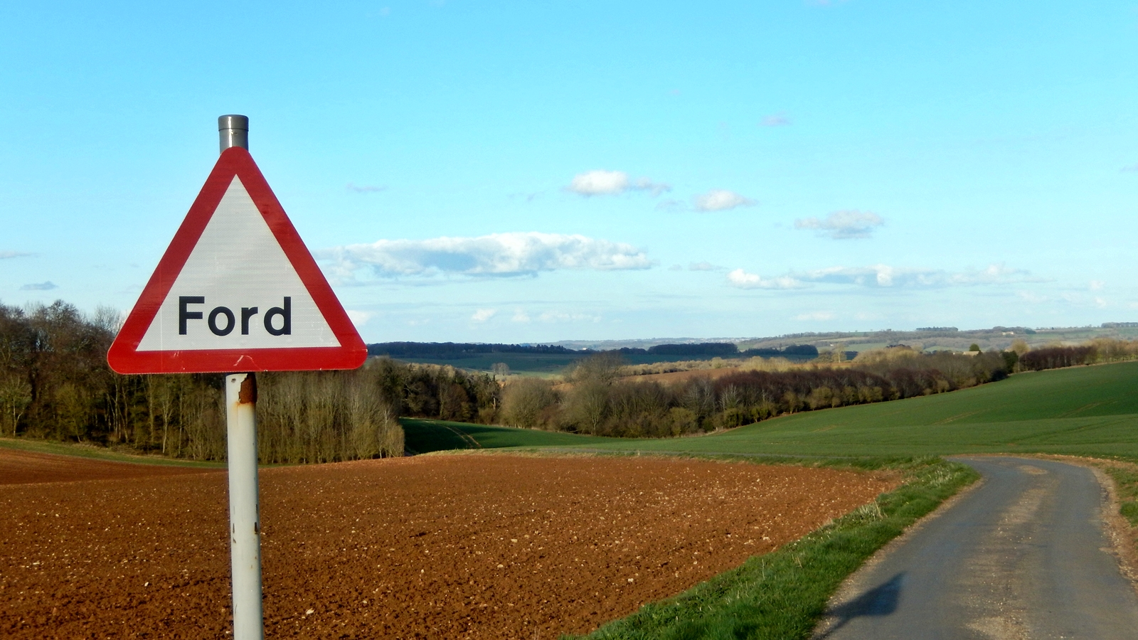
As we already know from last year, Google Maps always has a few surprises in store for us: In addition to narrow country lane through the hedges, she lures us onto a road on which there is a Ford sign, which is only opening up to us as we are standing in front of a small stream and there is only a tiny bridge for pedestrians:
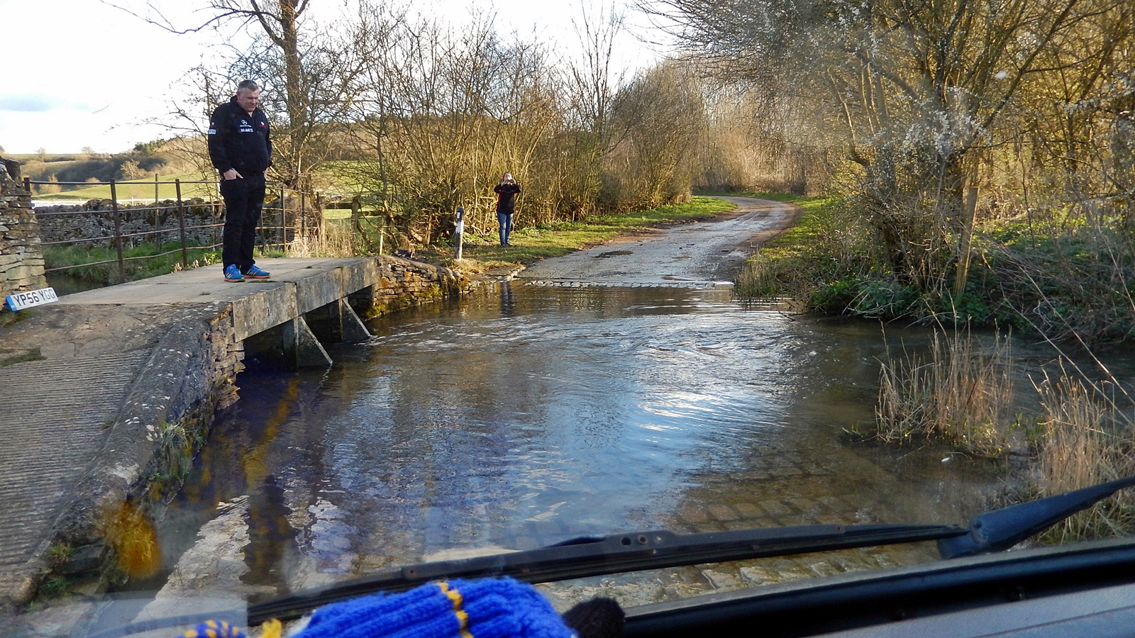
With the VW through the Ford
Ford is the English word for the German term Furt, and indicates a river crossing without a bridge. Fortunately, the stream is not too deep, and both VW buses make the crossing easily, including underbody washing.
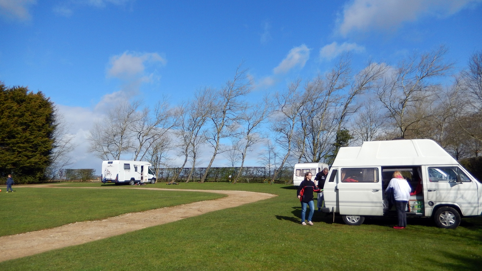
In the evening we set up our quarters at Folly Farm campsite and try to find a place that does not seem to be too softened by the days of rain before our trip.
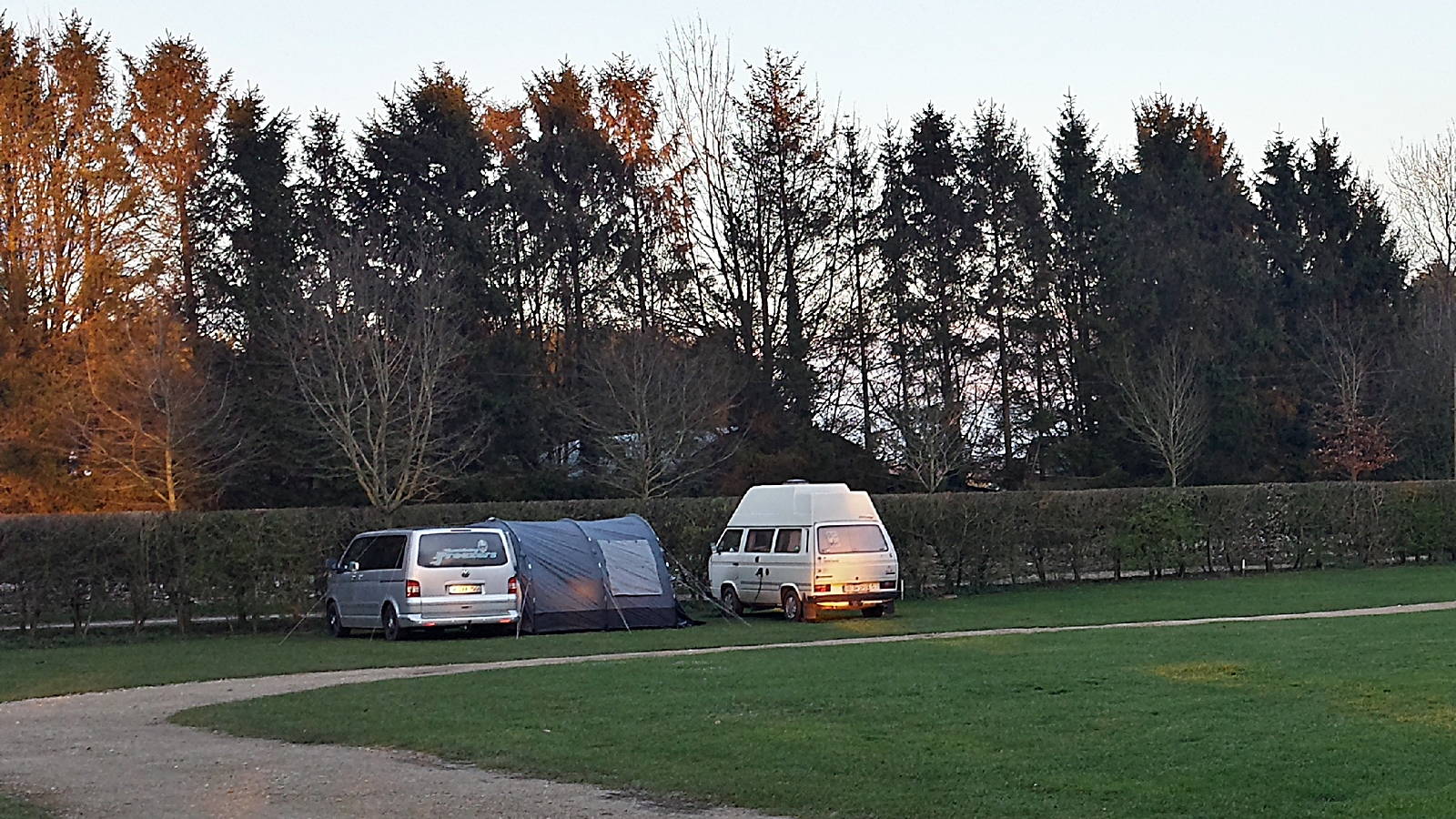
Folly Farm Camping, Burton-on-the-Water
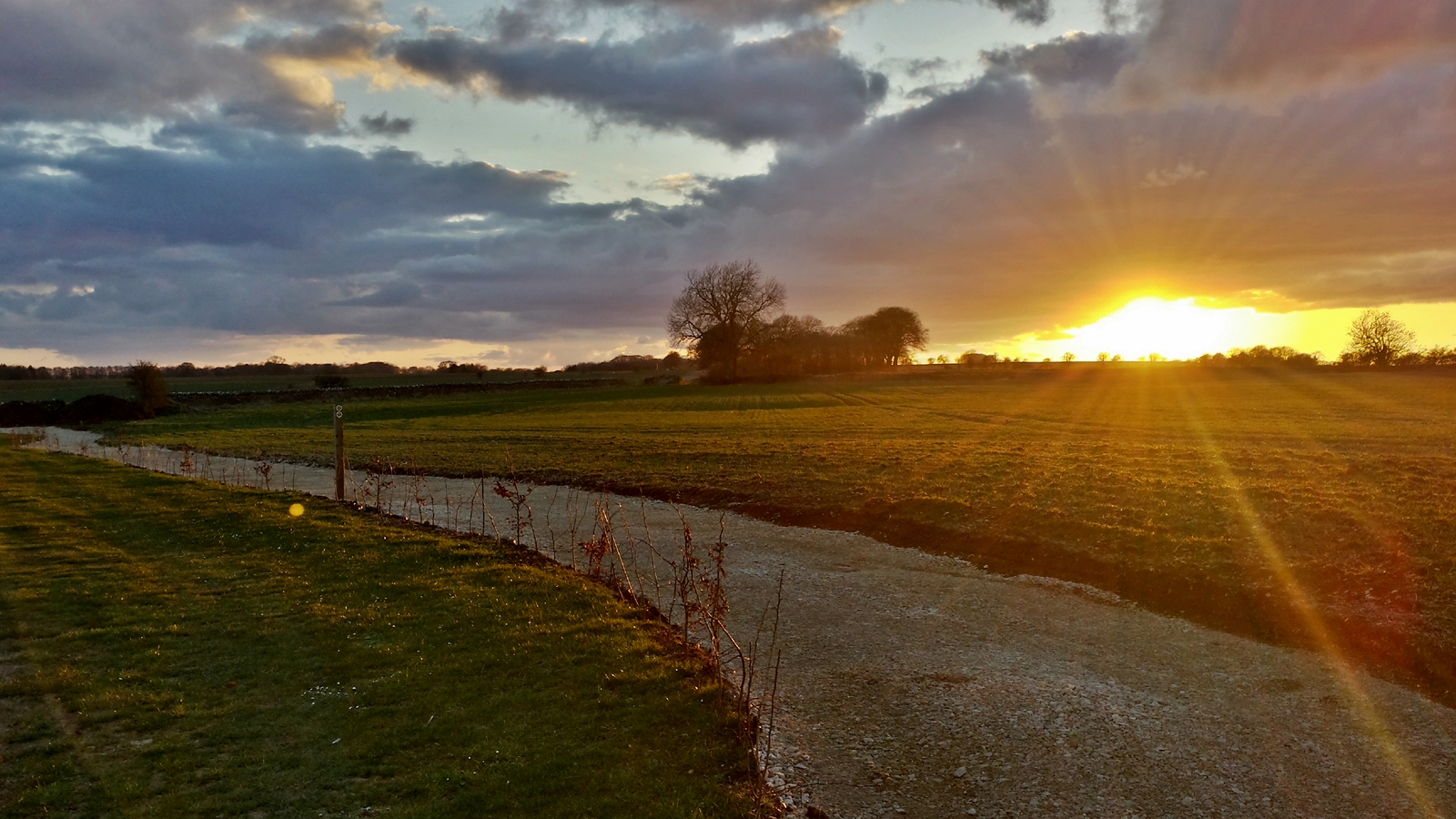
A great day is coming to an end
Via Somerset to Devon
Wednesday, 06.04.2016
After a rainy night the clouds have gone in the morning and it seems as if it becomes a perfect day for traveling. The wind-crooked trees at the edge of the campsite impressively show that storms and rain should not be unusual in this area.
Wind-crooked trees at Folly Farm Camping
Unfortunately, however, the choice of the pitch turned out to be less than optimal, and so the Didimobil gets stuck in the softened lawn. Luckily, the groundsman has a ride-on lawnmower, with which he frees the Didimobil from the mess.
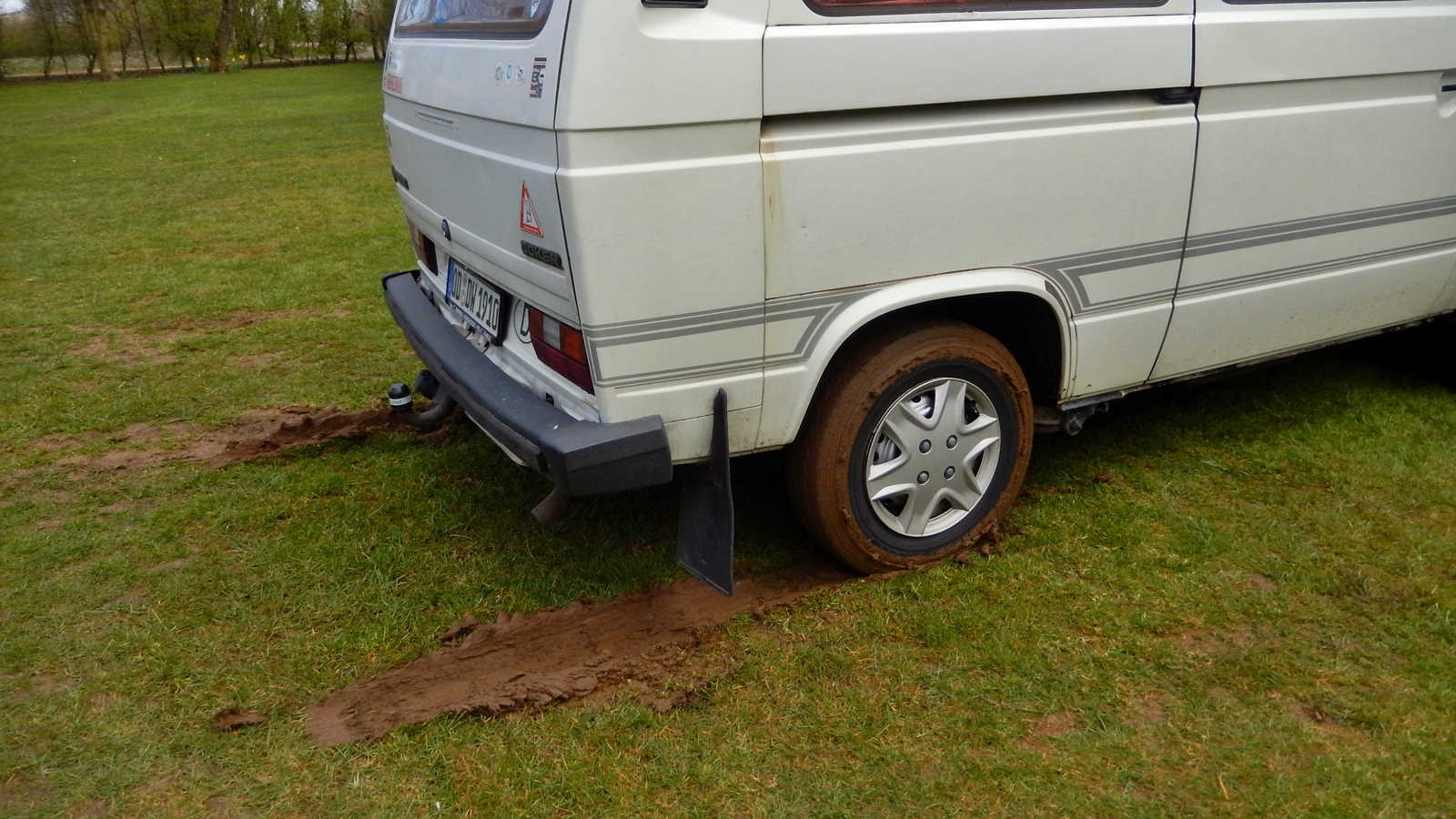
Soft lawn…
Our first destination shall be Cheddar Gorge, which is already known to the Didimobil. Coming from “above”, a trip down into the gorge is surprising and impressive at the same time.

Cheddar Gorge
Cheddar Gorge
Since noone actually wants to buy any cheese we continue our trip without stopping at the souvenir shops in the village, following A39-road along the south banks of the Bristol Channel.
Rural England
The English, however, not only love old VW buses, they also love to go on vacation with their houses. Last year we had already hit a truck loaded with an entire house, and again this year we encounter such a rather unusual picture.
House on Wheels
Everywhere in England it is worth looking out of the window every once and then, since there are always some interesting and beautiful spots to catch alongside the country roads. Like St. Audries Church along A39 at West Quantoxhead:
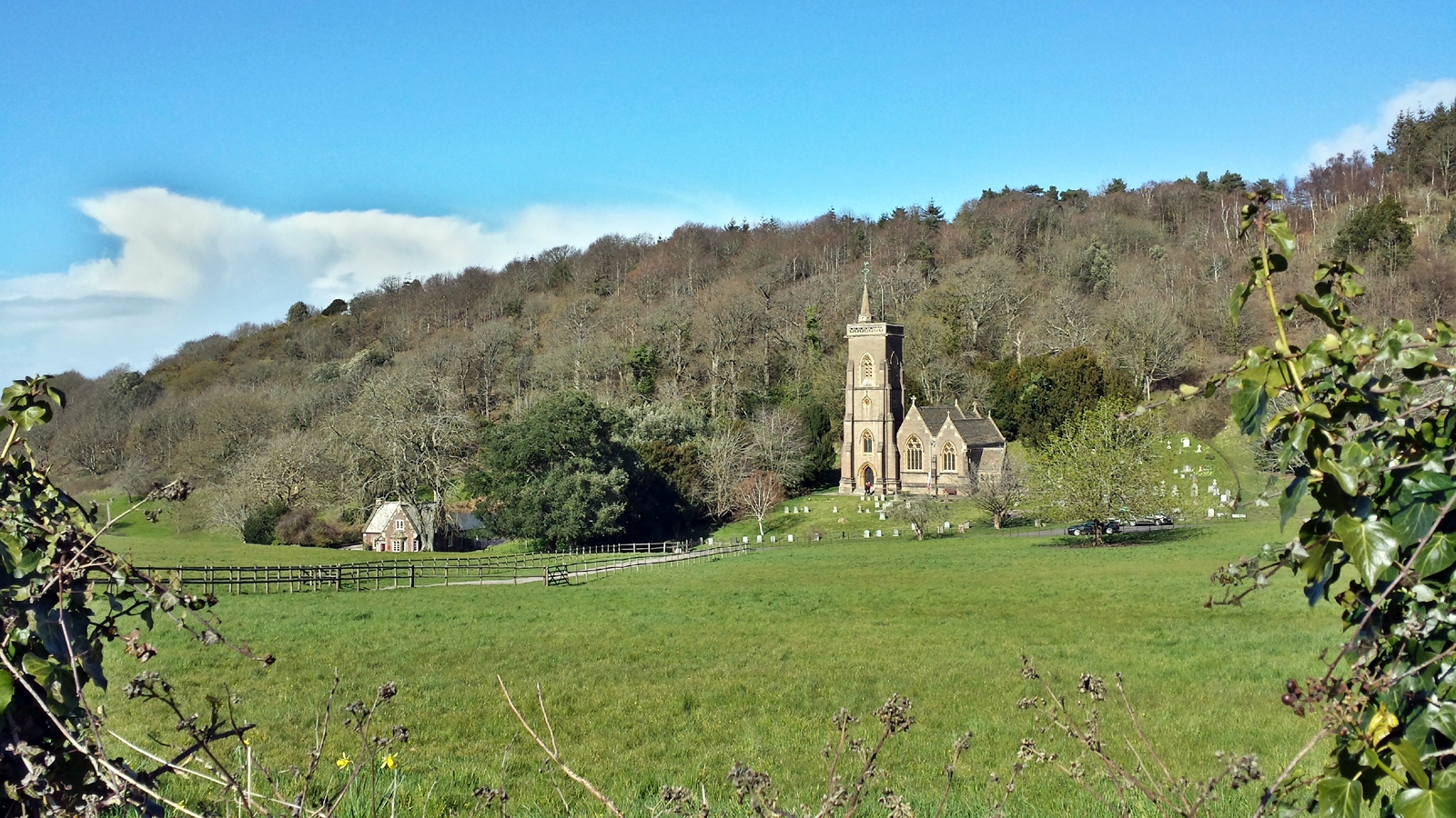
St. Audries Church, West Quantoxhead
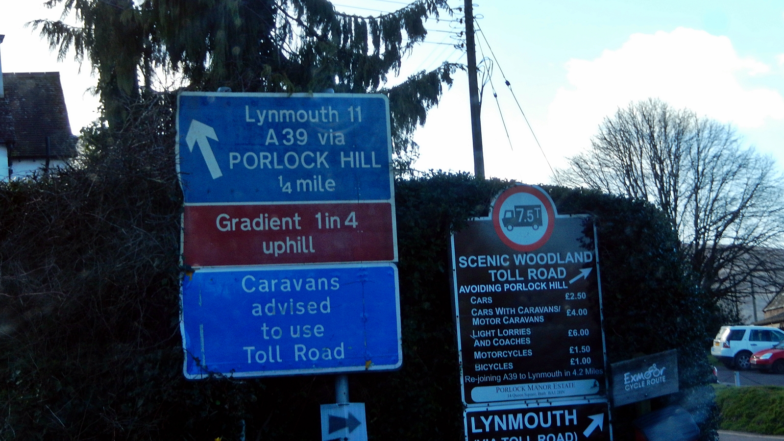
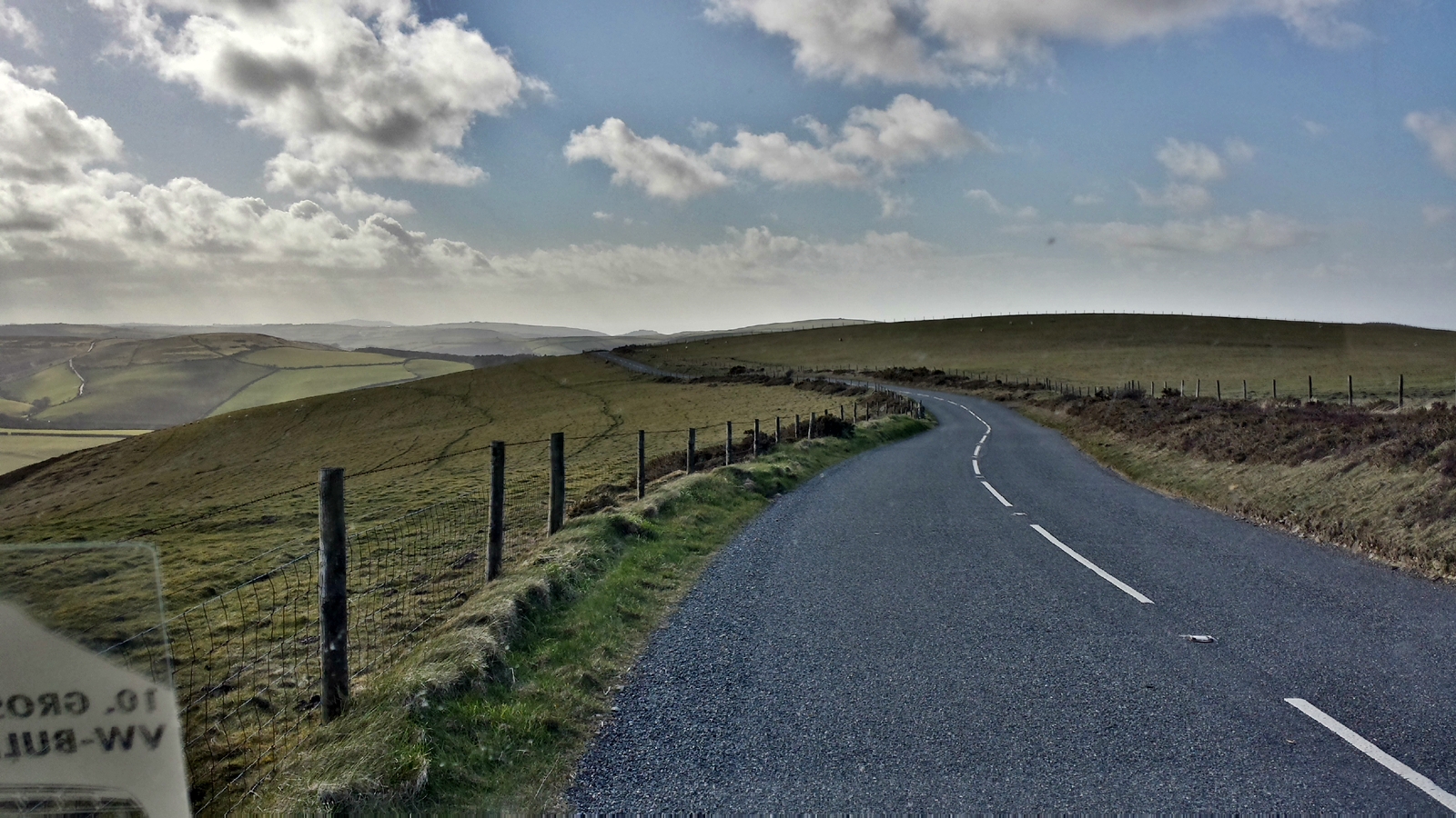
Right after the small town of Porlock starts one of the most scenic road sections in England. Porlock Hill with its 1-in-4 gradient is the shortest route up to the northern foothills of Exmoor National Park, about 300 meters above sea level. On the following almost 20 kilometers to Lynton, A39 road runs on this plateau offering great views of the sea and the surrounding valleys.
Hopefully the Didimobile manages to climb up Porlock Hill
1-in-4 gradient from the Didimobile window
Exmoor National Park
A39 in between Porlock and Lynton
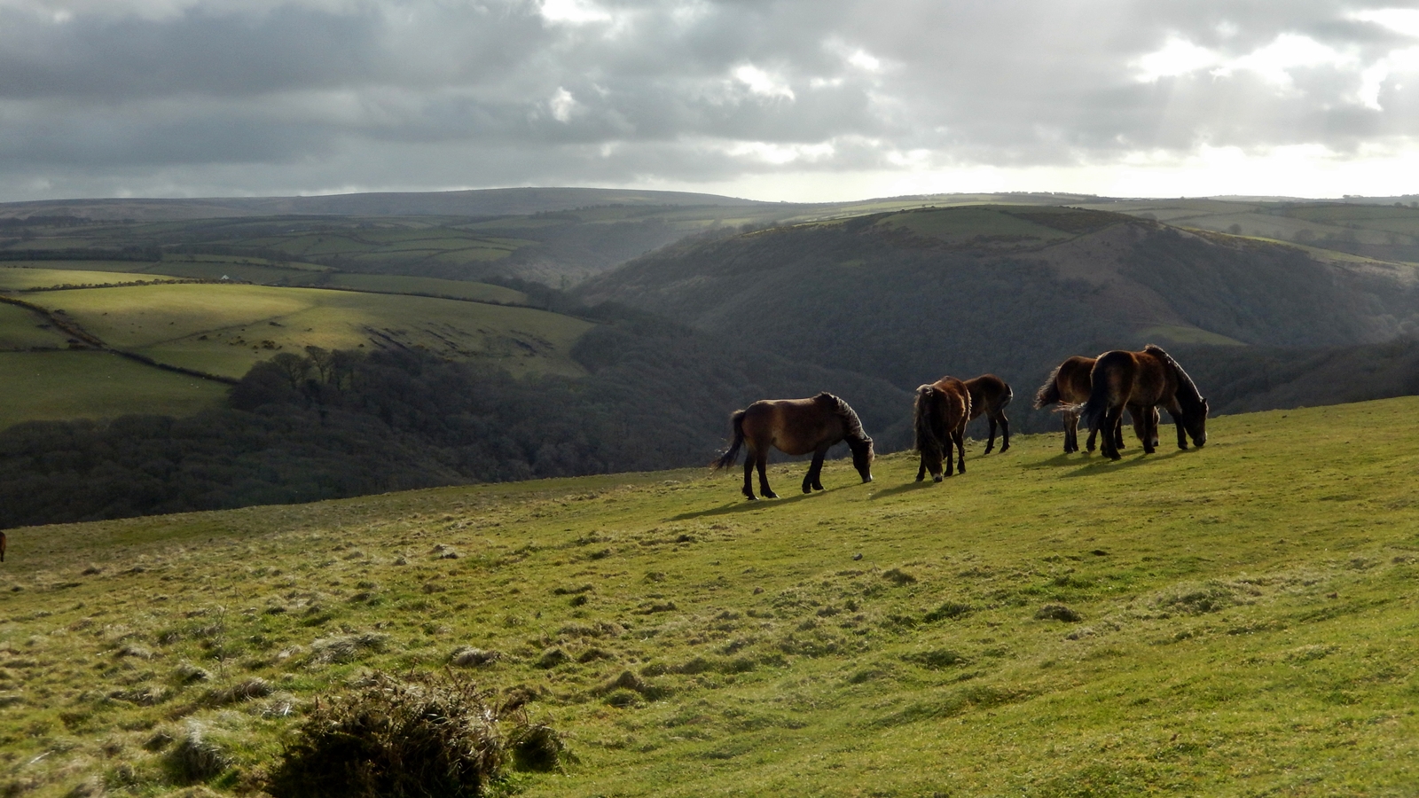
Wild horses, Exmoor National Park
Down again to Lynton
After an almost equally steep descent at the other end of the A39, we reach the fishing village of Lynmouth, which was almost completely destroyed by a large flood in 1952.

Pedestrian zone in Lynmouth
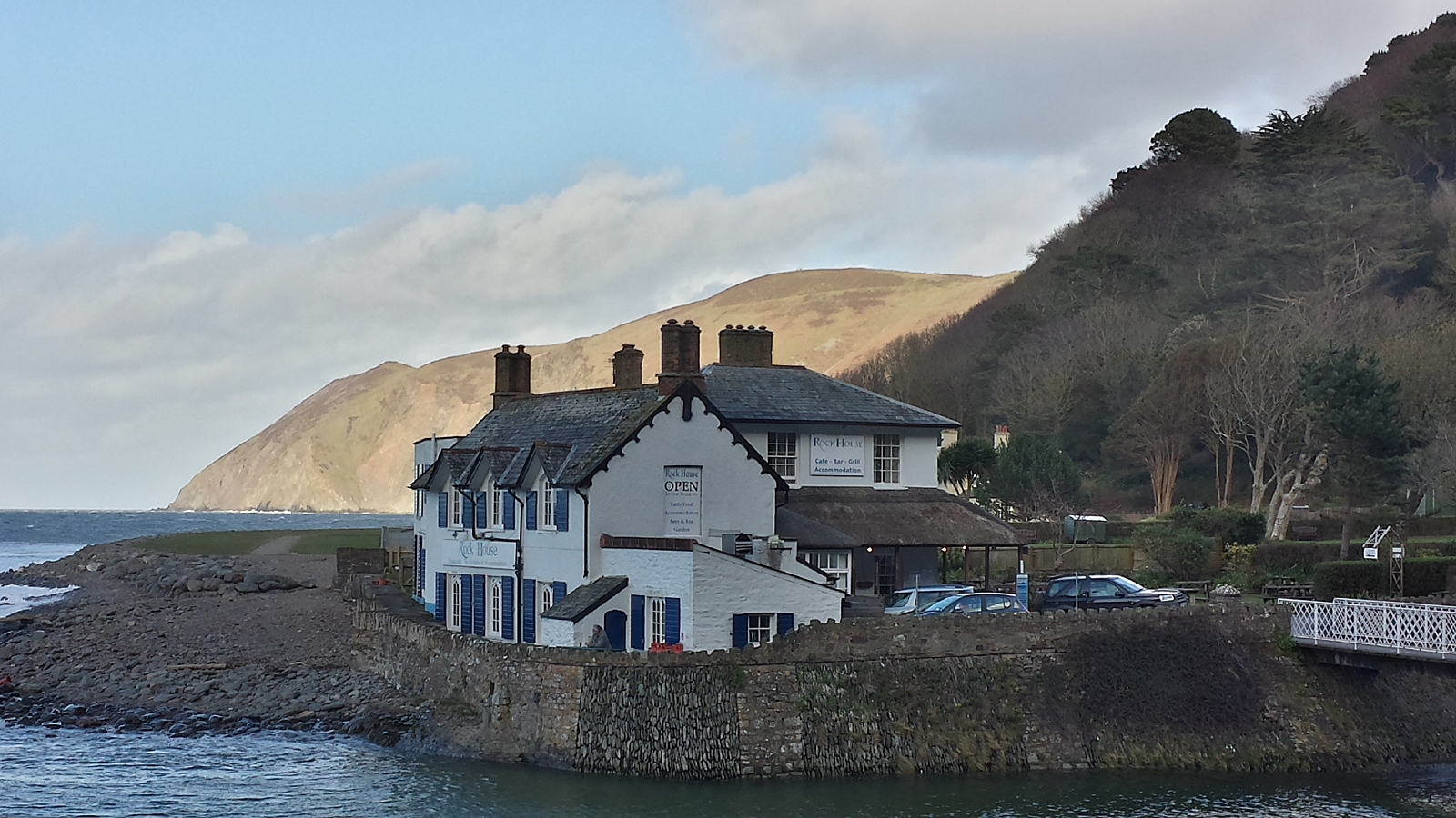
Rock House Hotel, Lynmouth
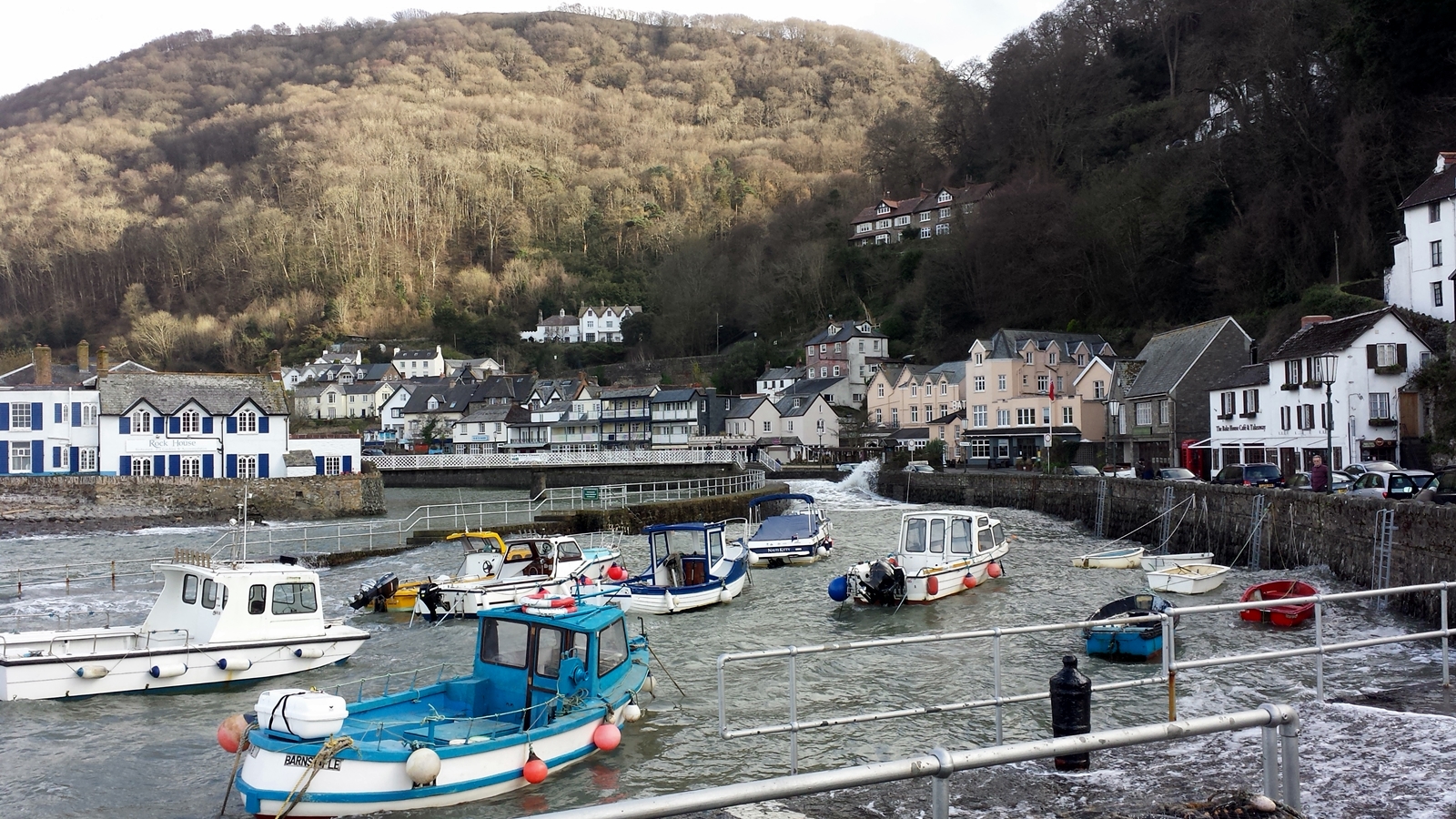
Lynmouth harbour
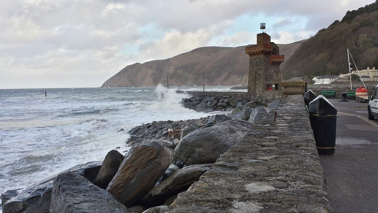
Lynmouth beacon
Lynmouth is the port of Lynton, which is about 150m higher on the cliffs. Both places form a unit and have been connected by an inclined elevator, the Lynton and Lynmouth Cliff Railway, since 1890.
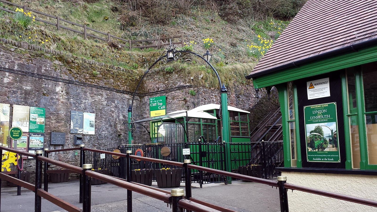
Lynton and Lynmouth Cliff Railway
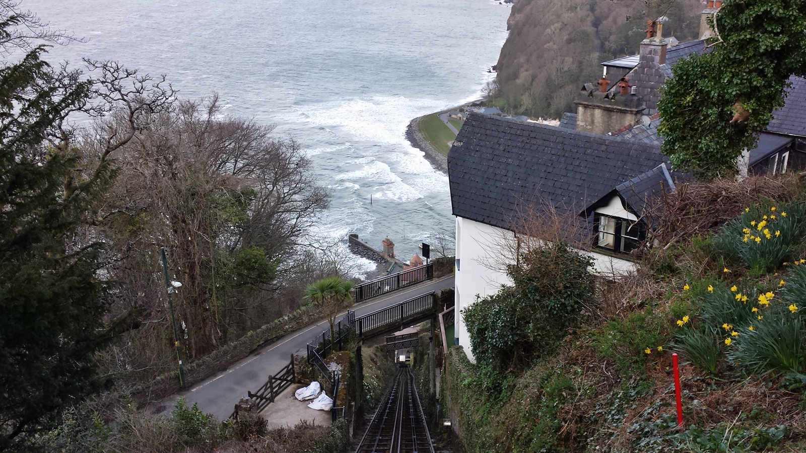
View from the mountain station, Lynton and Lynmouth Cliff Railway
We take a ride on the small train and explore the upper town of Lynton before we go back to the Didimobile and find a small campsite next to a quaint English pub just outside the town.